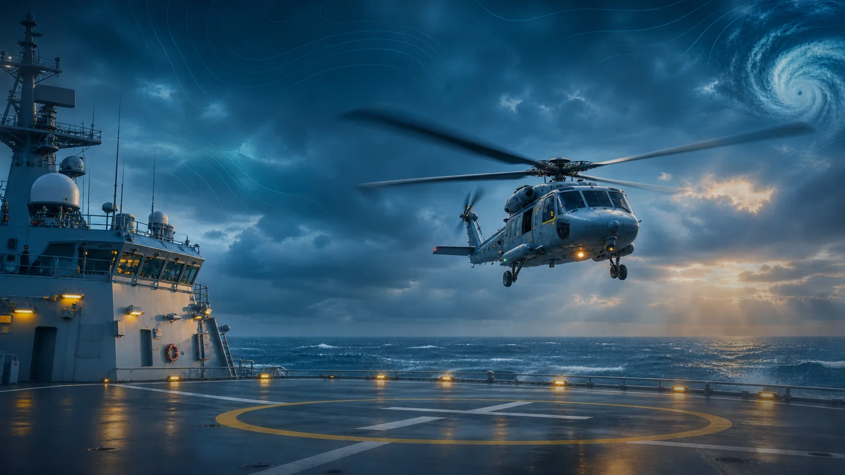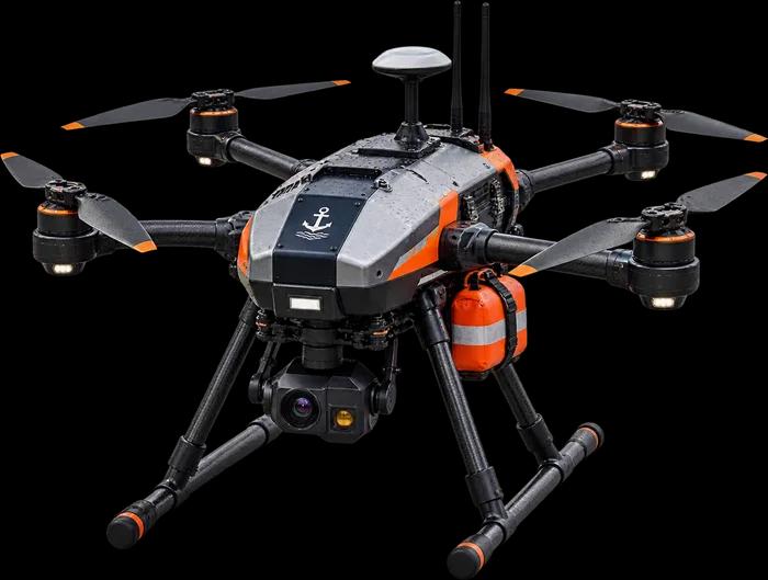
 Offline weather intelligence for sea and air
Offline Weather Intelligence That Turns Forecasts Into Go Or No-Go.
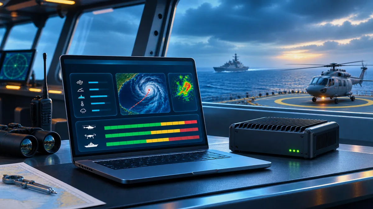
Weather Guard AI brings the best global and Indian forecasts on board as signed Data Packs and runs fully offline. Officers and drone pilots get a clear Go, Caution or No-go for each operation, against their own limits.
Developed with Canary Aerospace
Offline
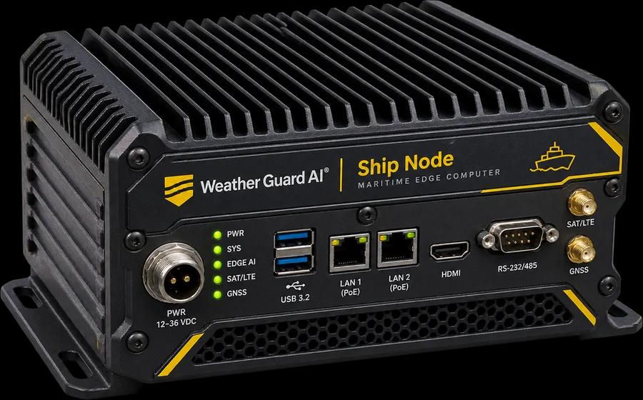
Runs on a small fanless computer on board, with no internet. Forecasts arrive as signed packs by satellite or USB.
Decide
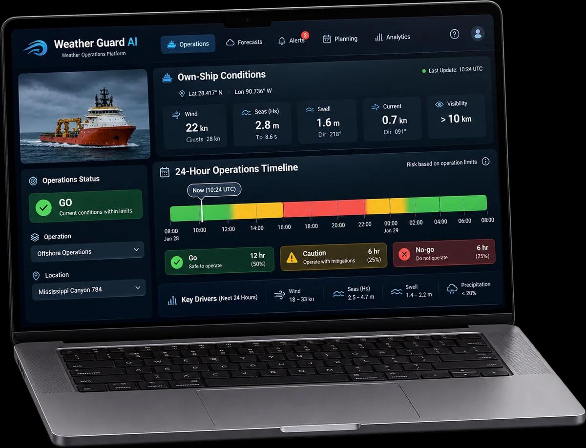
Go, Caution or No-go, hour by hour, for helicopter, drone, boat, replenishment, diving and upper-deck work.
Trust
Every pack and brief is digitally signed, and every forecast is scored against what the ship actually measured.
Raw data is not a decision. A forecast of 28 knots and 2.5-metre seas doesn't tell an officer whether the helicopter can land. Weather Guard AI does.
Key Features
From Forecasts to Operational Decisions
 01
Operations Go Or No-Go
Every activity, hour by hour, against your own limits.
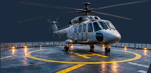
Helicopter deck operations, drone launch and recovery, boats, replenishment at sea, diving and upper-deck work each get Go, Caution or No-go. The METOC officer approves the limits, and missing data never shows Go.
 02
Drone Mission Check
Wind at flight height, and the battery margin home.
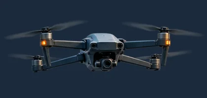
Import a Mission Planner or QGroundControl mission, pick the drone and see each leg rated with its reasons. Live advisories follow every flight, including “Return home now” when the battery won't cover the trip back.
 03
Cyclones & Passage
How close a storm will come, and when.
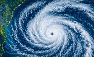
Track cyclones with IMD categories and wind radii, and see the closest point of approach to the ship and its planned route. Check each passage leg for sea state, currents and dangerous rolling.
 04
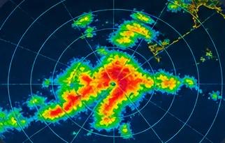
Radar Nowcast
The next 60 minutes, where forecasts can't see.
AI trained on Indian monsoon and cyclone radar predicts how rain cells and squalls move over the next hour, with a proven optical-flow method alongside. The watch is warned before a squall reaches the ship.
 05
Aviation & Sonar
Helicopter envelopes, winds aloft and sensor conditions.
See winds aloft, wind shear, cloud base, icing level and relative wind against each helicopter's deck envelope. Below the surface, get sound-speed profiles, layer depth and convergence zones; above it, radar ducting.
 06
Signed Briefs & Verification
Accuracy you can check, briefs nobody can alter.
One-click METOC briefs are hashed and digitally signed, with an optional offline assistant that answers questions about them. Every forecast is scored against the ship's own measurements, so officers see how good it has been.
How It Works
A Simple, Secure Workflow
from Global Forecasts to On-Board Decisions
01 Shore Hub
Four times a day, the Shore Hub collects global and Indian forecasts, sharpens them near the coast with AI and signs them.
02 Data Pack
A pack of about 25 MB reaches each ship by satellite link or USB; delta packs carry only what changed.
03 Ship Node
The fanless computer on board verifies the pack and combines it with the ship's sensors, radar and drone telemetry, fully offline.
04 Console
Officers, pilots and the operations room see decisions, alerts and briefs in a web browser, and the fleet view ashore shows every ship.
Security & Control
Signed packs and briefs (Ed25519, SHA-256), four user roles, a tamper-evident audit log and encrypted storage. Sensors connect through a one-way link, so it can never write to bridge systems, and the drone bridge is read-only.
Works With
NMEA 0183 ship sensors, Mission Planner, QGroundControl, ArduPilot and PX4 (MAVLink), custom ground control stations (REST API) and any browser on the ship's network.
Product Demo
See It In Action
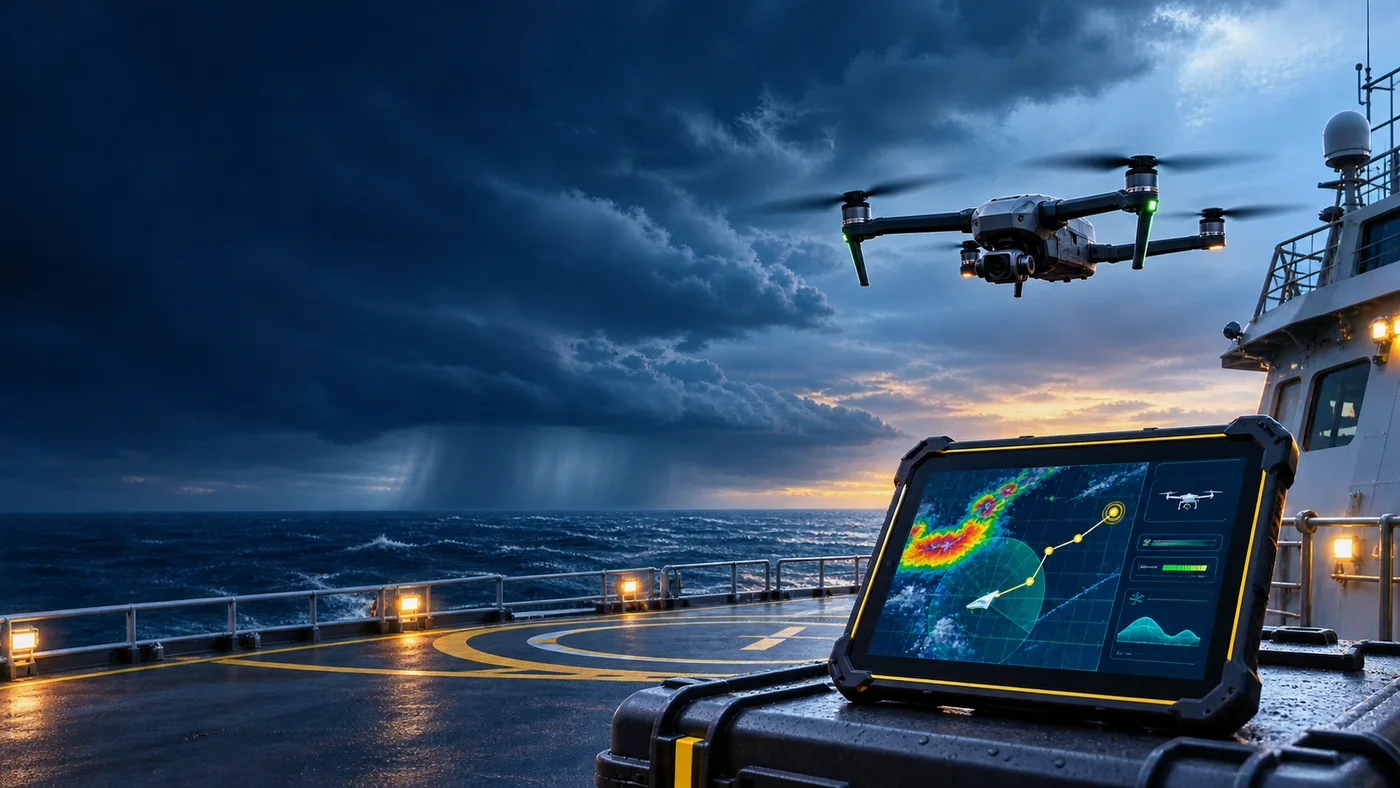
See a drone mission checked against the wind, and a squall tracked toward the ship.
How to Buy
Deployment, Pilots and Trials
Each deployment has a Ship Node on every vessel and a Shore Hub ashore, in a data centre in India or in your own facility. Standard, ruggedised and AI-accelerator hardware are available. Pricing, pilots and trials are agreed with our team, and a demonstration kit runs the full software on a laptop.
FAQ
Frequently Asked Questions
Answers to what naval, shipping and drone teams ask most about offline operation, data sources, accuracy, drones and security in Weather Guard AI.
Does Weather Guard AI need the internet on board?
No. The Ship Node works fully offline. Forecasts arrive as signed Data Packs over the satellite link or on a USB stick. If the link is down, it keeps working on the latest pack and shows clearly how old it is.
Where does the weather data come from?
From NOAA GFS, ECMWF, Copernicus Marine, IMD and NCMRWF, INCOIS, IMD Doppler weather radar, INSAT satellite imagery through MOSDAC, and cyclone bulletins from IMD and JTWC. The ship's own sensors add measurements on the spot.
How accurate is it?
Weather Guard AI measures its own accuracy. It compares every forecast with what the ship, buoys and coastal stations actually measured, and shows the typical error by parameter and lead time. Accuracy varies by area, season and parameter, so it is shown, not quoted.
Does Weather Guard AI control our drones?
No. By default it only advises, and its MAVLink bridge never sends commands to the aircraft. Automatic hold or return-home is an option a customer can enable only after its own safety case and flight tests.
Does it replace official warnings or navigation systems?
No. It is a decision-support tool for weather and ocean conditions that supports the commanding officer, pilot and METOC officer. Official warnings always take priority, and it works alongside the ship's own navigation systems.
Still have a question?
Tell us about your vessels, aircraft and operating area. We'll show you Weather Guard AI on the demonstration kit, with a scenario like yours.